A Sense of Place
9/21/2019
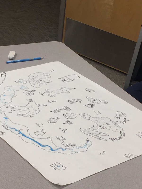
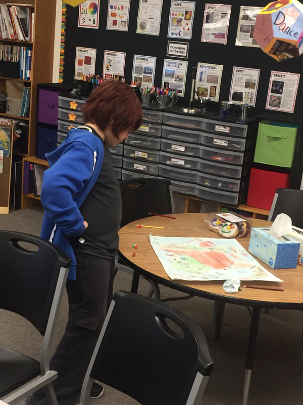
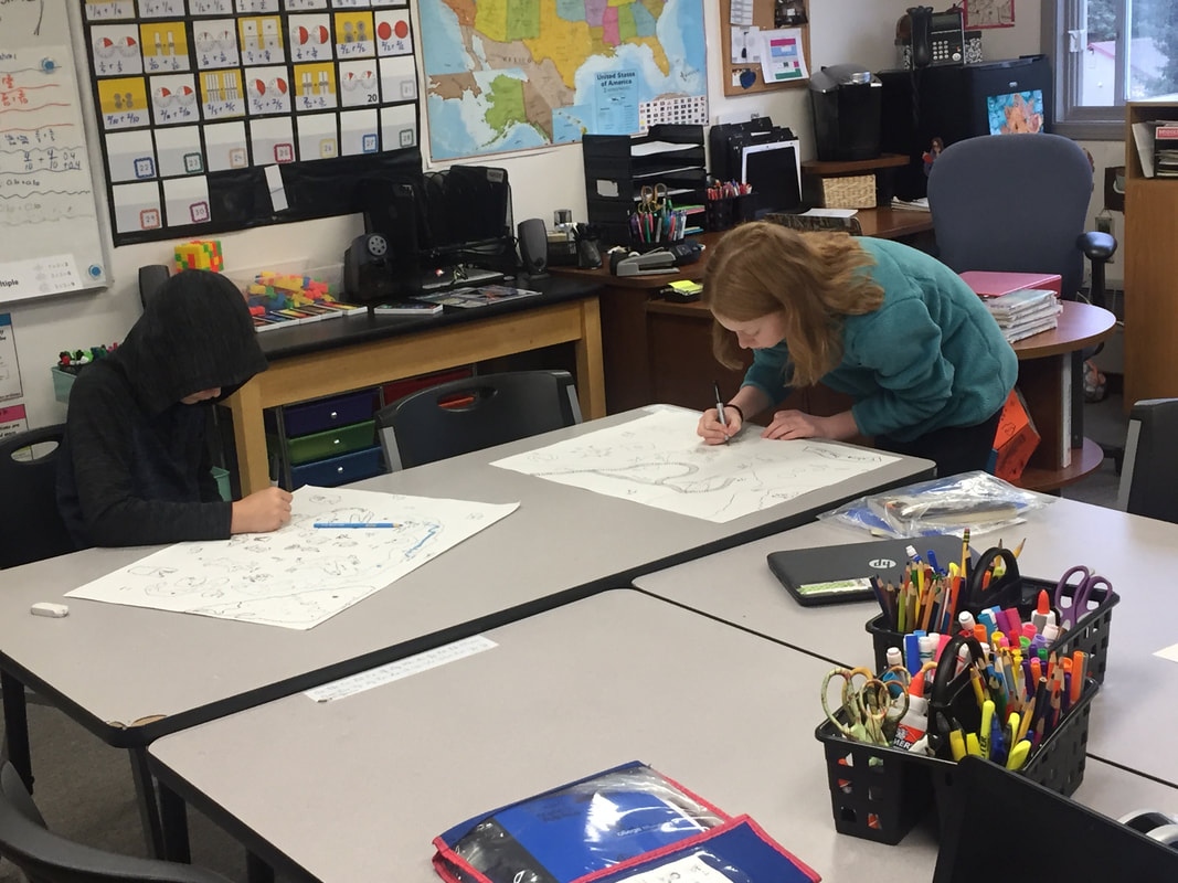
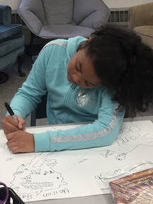 The primary focus of our social studies work this school year will be U.S. history. We will explore and learn about our country’s beginnings; come to understand foundational documents like the US Constitution; consider how our founding citizens' values and vision took a young country on its journey through its first 100 or so years; and build foundational knowledge for future US history studies. But this month, we began with geography. We all remember geography lessons: memorizing the states and their capitals; researching and writing state reports; taking map quizzes. Some might argue that, with the internet, studying geography is no longer necessary. If our Maps apps can tell us how to get anywhere we want to go, and if we can look up those facts about places in the blink of an eye, well… However, the study of geography is more important now than it ever was. In a world where instant news about our city, state, country, and world is at our fingertips, and where we are more connected with each other than at any time in history, it is critical that our students understand geography. Geographers question why things are the way they are. They question how and why Earth’s places are shaped as they are, how they impact our interactions with each other, and why places are always changing. Understanding geography helps students to make sense of their world and positions them to ask deeper questions about what they are learning and their role in building their futures. One cannot understand history without understanding geography. And so, we’ve begun with geography. We’ve begun by building some common understanding about geographical features through the creation of our own maps of imaginary lands. Creating a map really makes a learner think hard: what exactly is a strait? What is the difference between a bay, an inlet, a gulf, and a sound!? Does my isthmus have to be in this spot? Why can't my city take up two thirds of my country's map? Where should I place cities on my map? Is there a reason cities are in certain places? Why are some borders straight and others all squiggly? Students examined maps of real places and used their learning to inform their work. They were creative and engaged, and they asked such excellent questions. As we finish these maps, we’ll really dig into the geography of the US. We’ll continue that inquiry all year alongside our history studies, building deeper knowledge about our wonderfully diverse states. They’ll probably practice map skills, learn some state capitals, and even learn to draw the US. And they’ll learn so much more, these young geographers. We invite you to join the journey! Comments are closed.
|
Elizabeth FerryMs. Ferry's experiences include teaching with the Peace Corps in Tanzania, teaching high school English in Maine, and this is her second year at PNA. She loves moose, outdoor activities, and being with her students. Archives
April 2021
Categories |
 RSS Feed
